Legacy
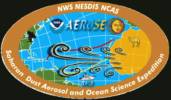
The AEROSE (Saharan Dust AERosols and Ocean Science Expeditions) program is an internationally recognized series of trans-Atlantic field campaigns conducted onboard the NOAA Ship Ronald H. Brown. These expeditions, now led by Arizona State University, were established and long led by scientists from NCAS-M, headquartered at Howard University. The program investigates African air mass outflows and their impacts on climate, weather, and environmental health.
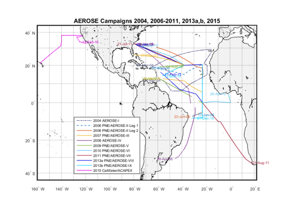
Launched with a dedicated cruise in 2004 and held annually since 2006, AEROSE has built one of the most comprehensive atmospheric and oceanographic datasets available. This work focuses on the transport and microphysical evolution of Saharan dust aerosols across the Atlantic Ocean (Morris et al. 2006; Nalli et al. 2011).
AEROSE sounding data provide essential independent measurements for validating environmental data records (EDRs) from satellite systems such as NOAA’s JPSS Cross-track Infrared Microwave Sounding Suite (CrIMSS), GOES-R Advanced Baseline Imager (ABI), and earlier systems like NASA’s Aqua Atmospheric Infrared Sounder (AIRS). This unique validation work allows scientists to evaluate the radiometric effects of Saharan dust aerosols on satellite remote sensing.
Ongoing Research Support at Arizona State University
AEROSE continues to play a key role in NOAA satellite product development, validation, and sensor evaluation (Nalli et al. 2013). Its aerosol microphysical measurements are also used to validate Geophysical Fluid Dynamics Laboratory (GFDL) global chemistry and transport models, and to improve the National Weather Service’s operational global aerosol forecast system based on the NOAA Environmental Modeling System Global Forecast System (NEMS/GFS).
Research is supported by multiple NOAA initiatives, including:
- NOAA Educational Partnership Program Grant
- Satellite Meteorology and Climatology Division (SMCD)
- GOES-R Algorithm Working Group
- NOAA Joint Polar Satellite System (JPSS) Office
- NASA AIRS Science Team (2006–2008)
The NEMS/GFS work is conducted in collaboration with NOAA’s National Weather Service, National Environmental Satellite Data and Information Service, and the Office of Oceanic and Atmospheric Research.
Expedition Reports
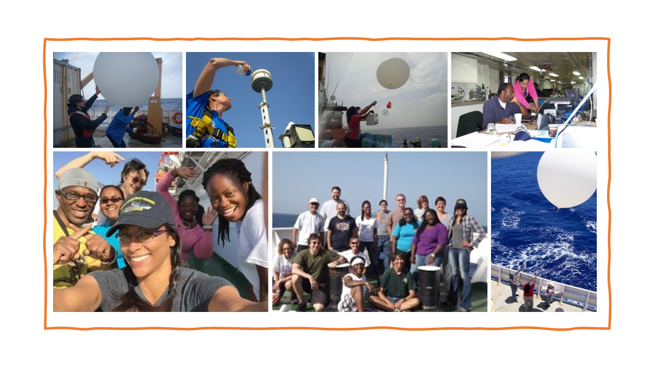
Photo Gallery